Days until our Noovo delivery:
One thing my big camera lacks is a GPS.
My wife and I drove down from California to Albuquerque, New Mexico, for the opening of an exhibition of my work (See American Nukes: Photographs and Texts by Darin Boville) at the Nuclear Museum, and on the way there, and on the way back, we stopped at the Grand Canyon.
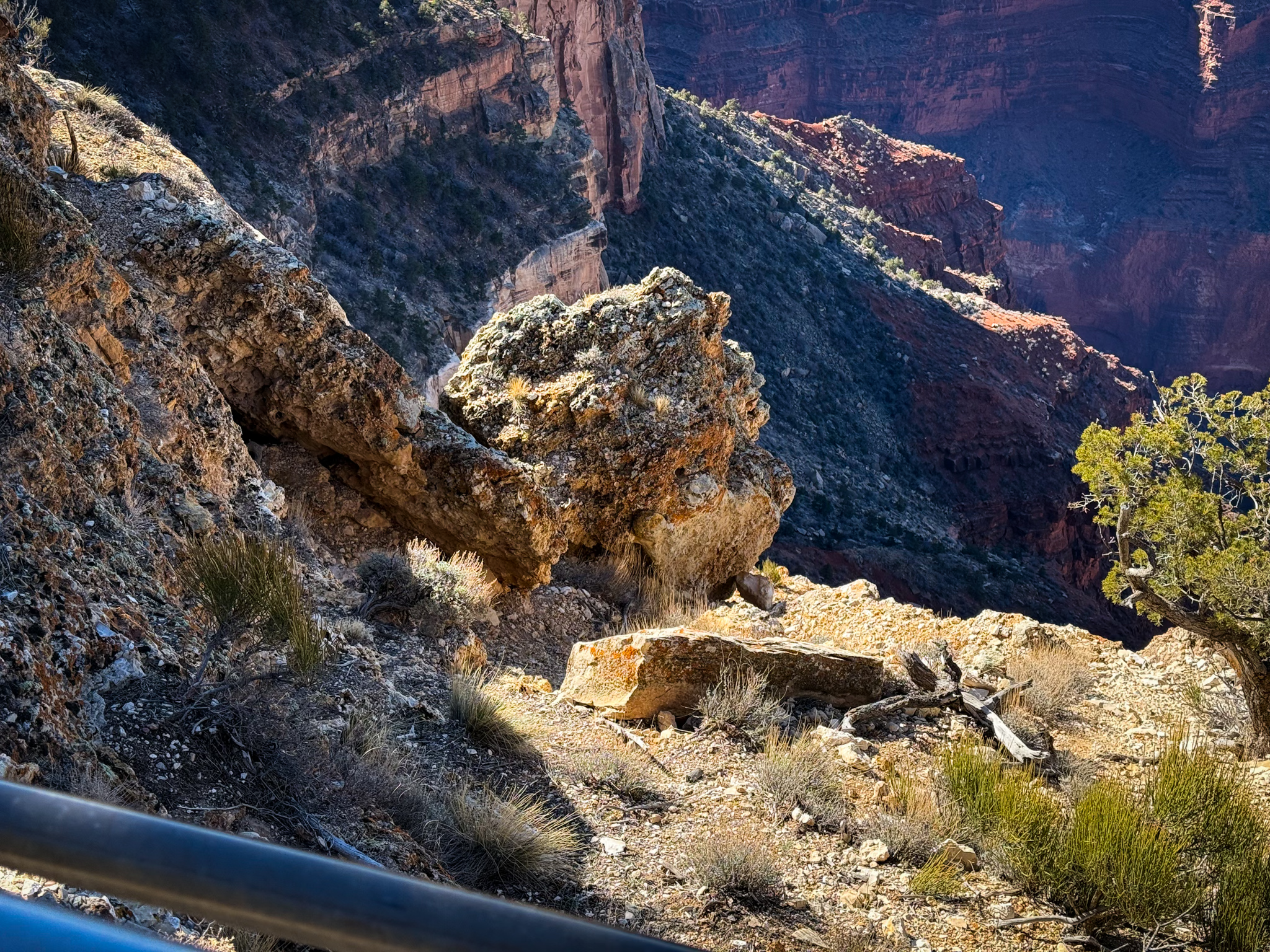
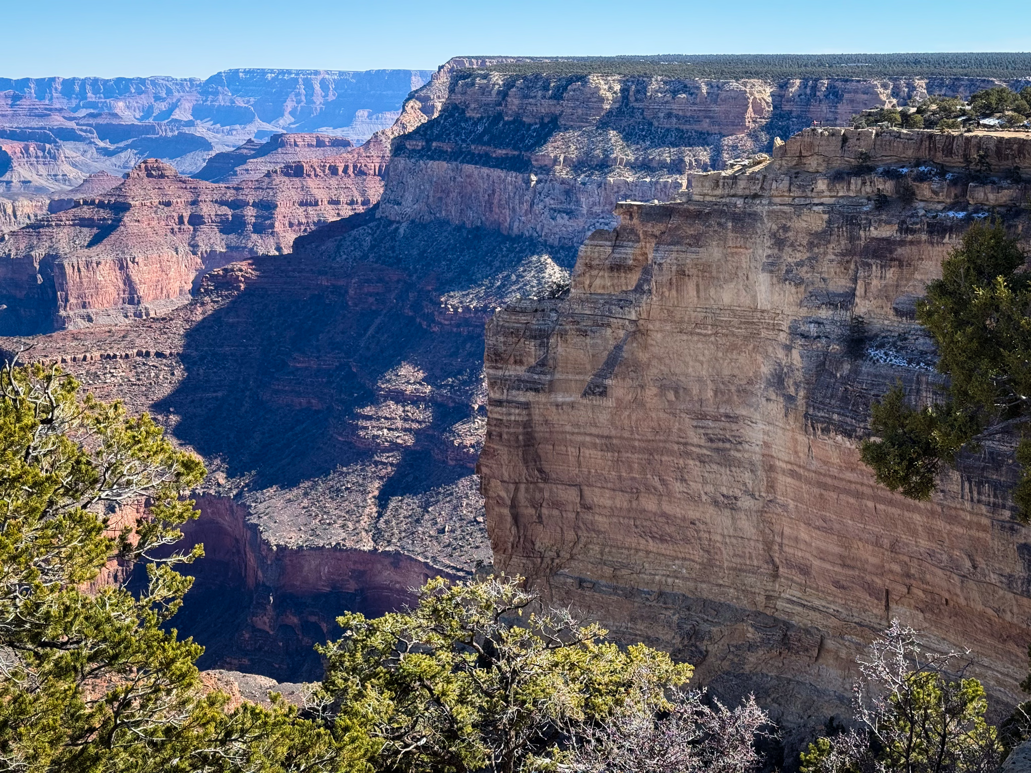
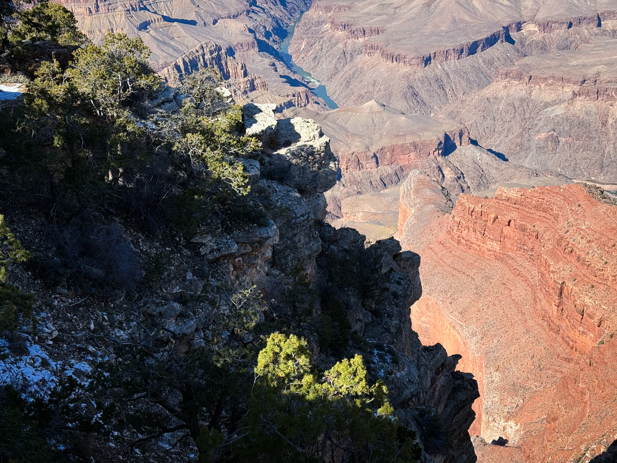
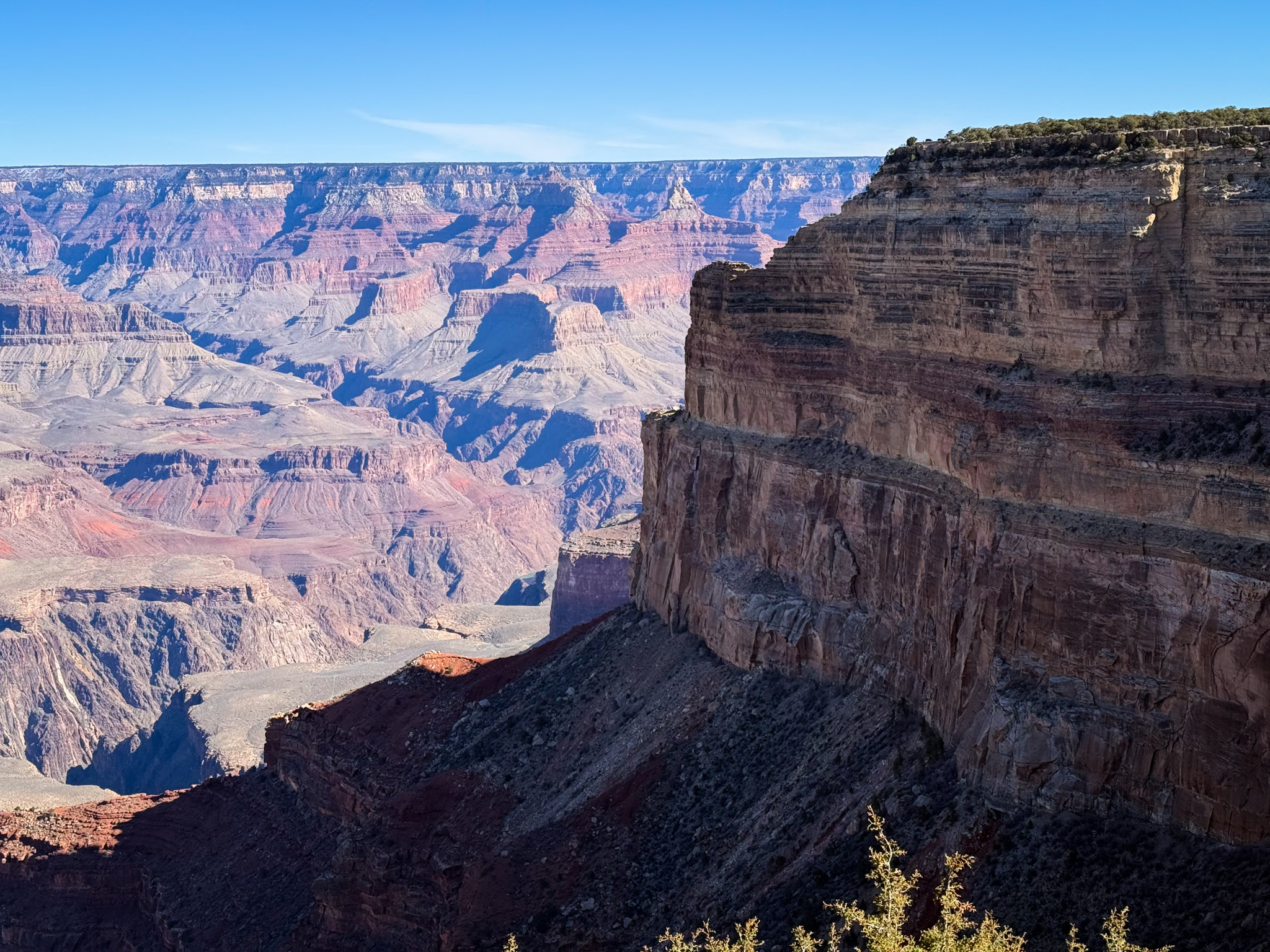
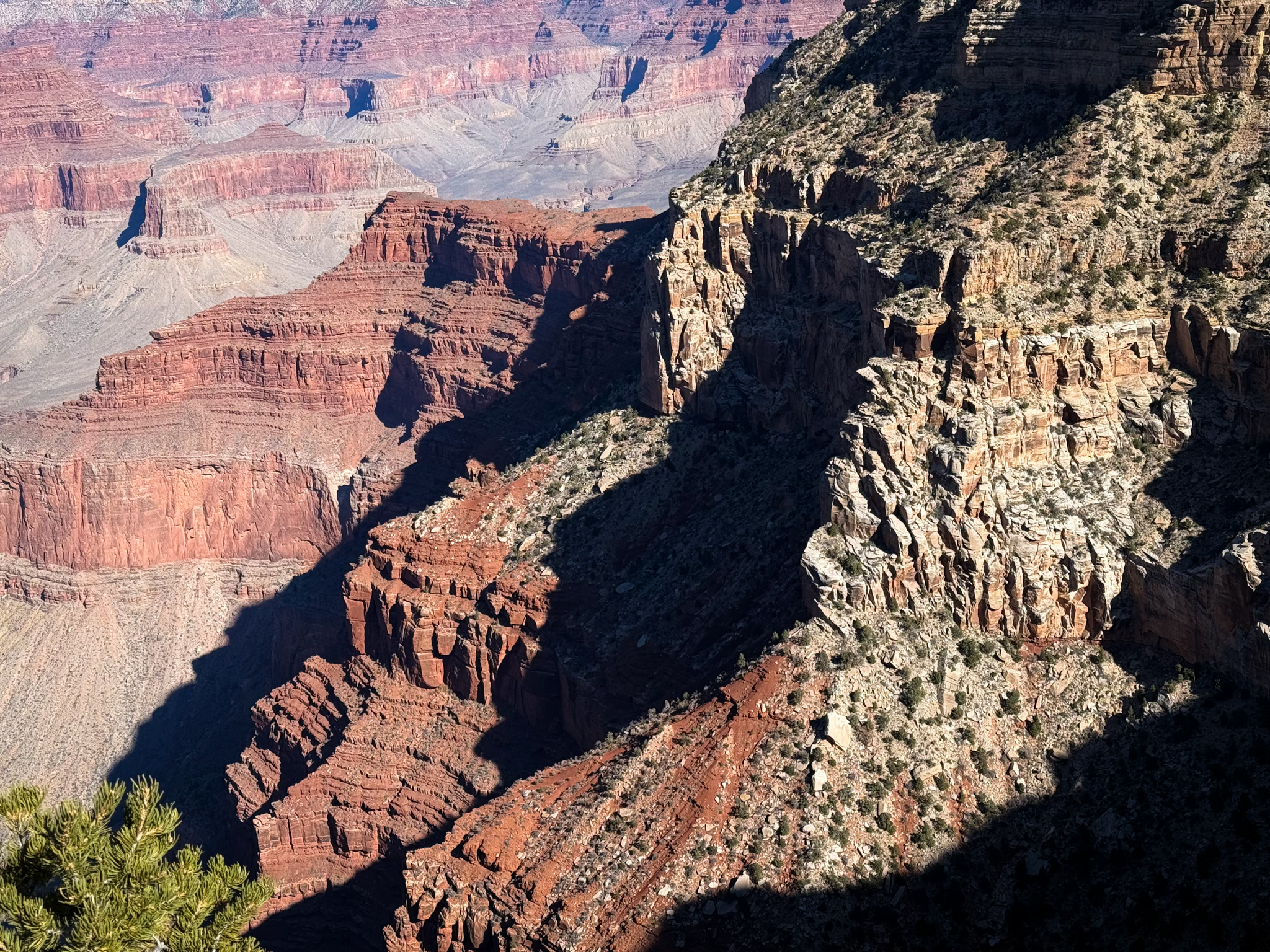
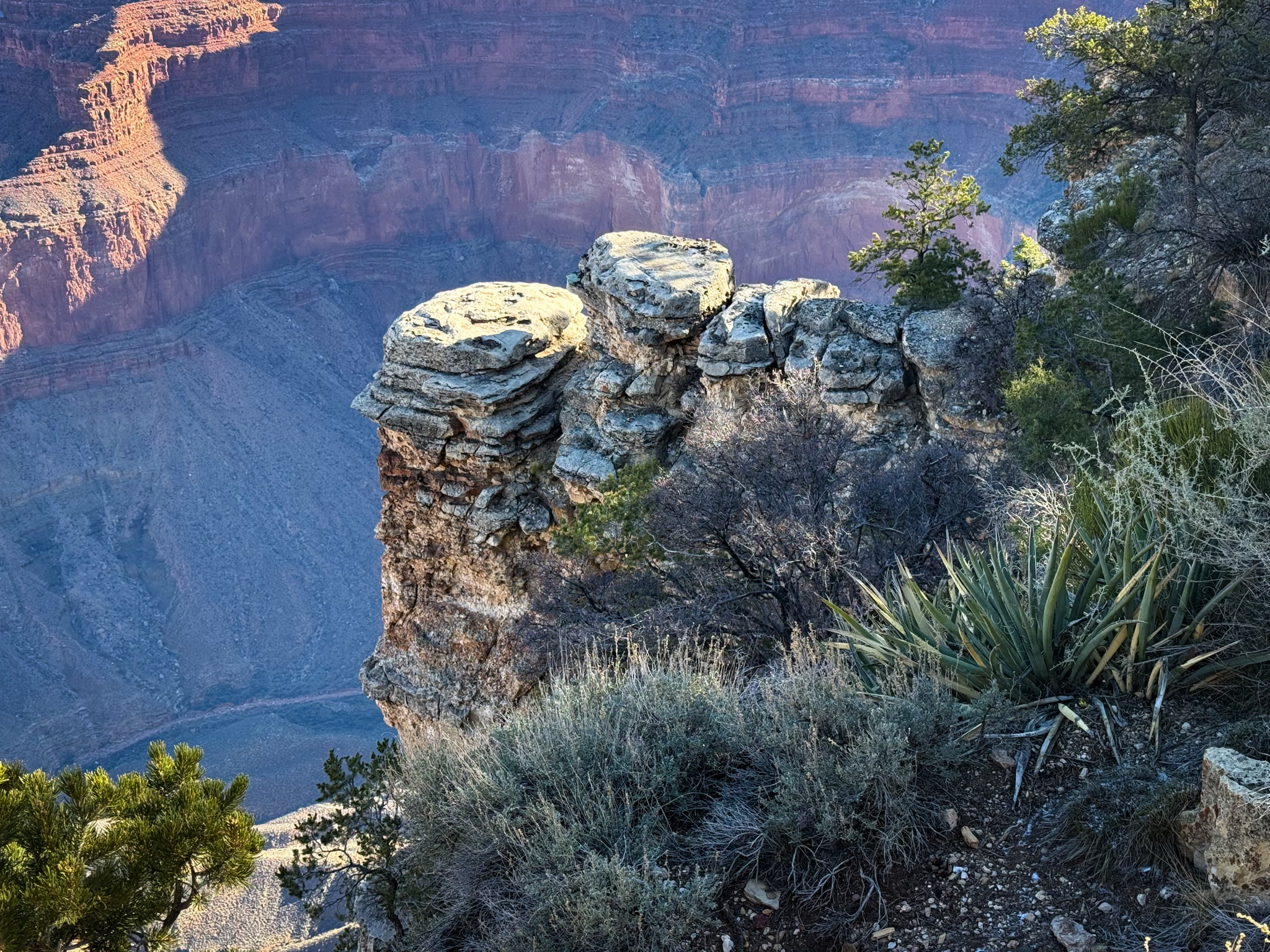
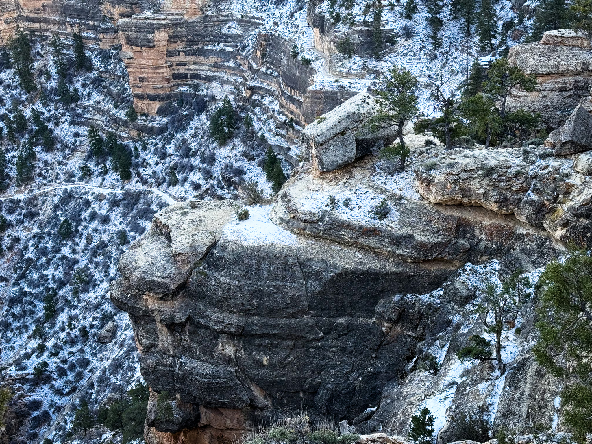
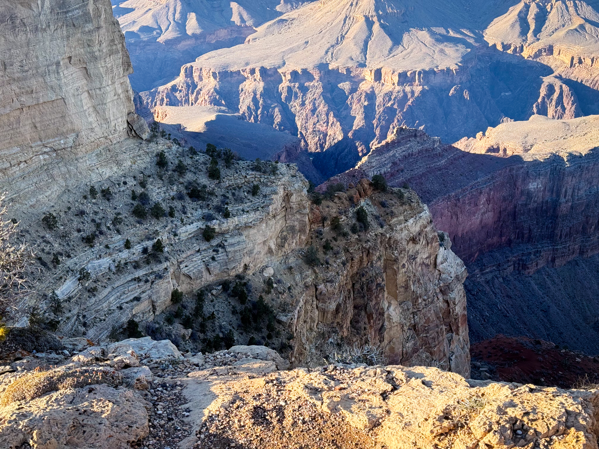
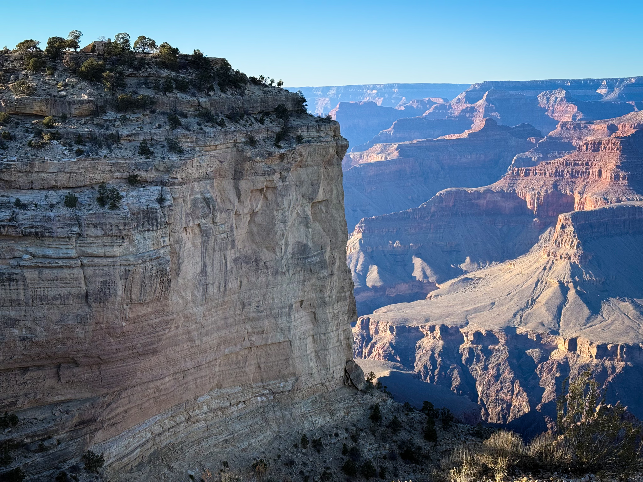
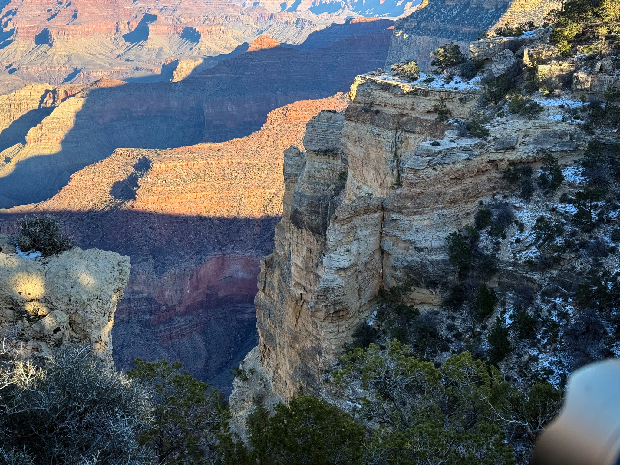
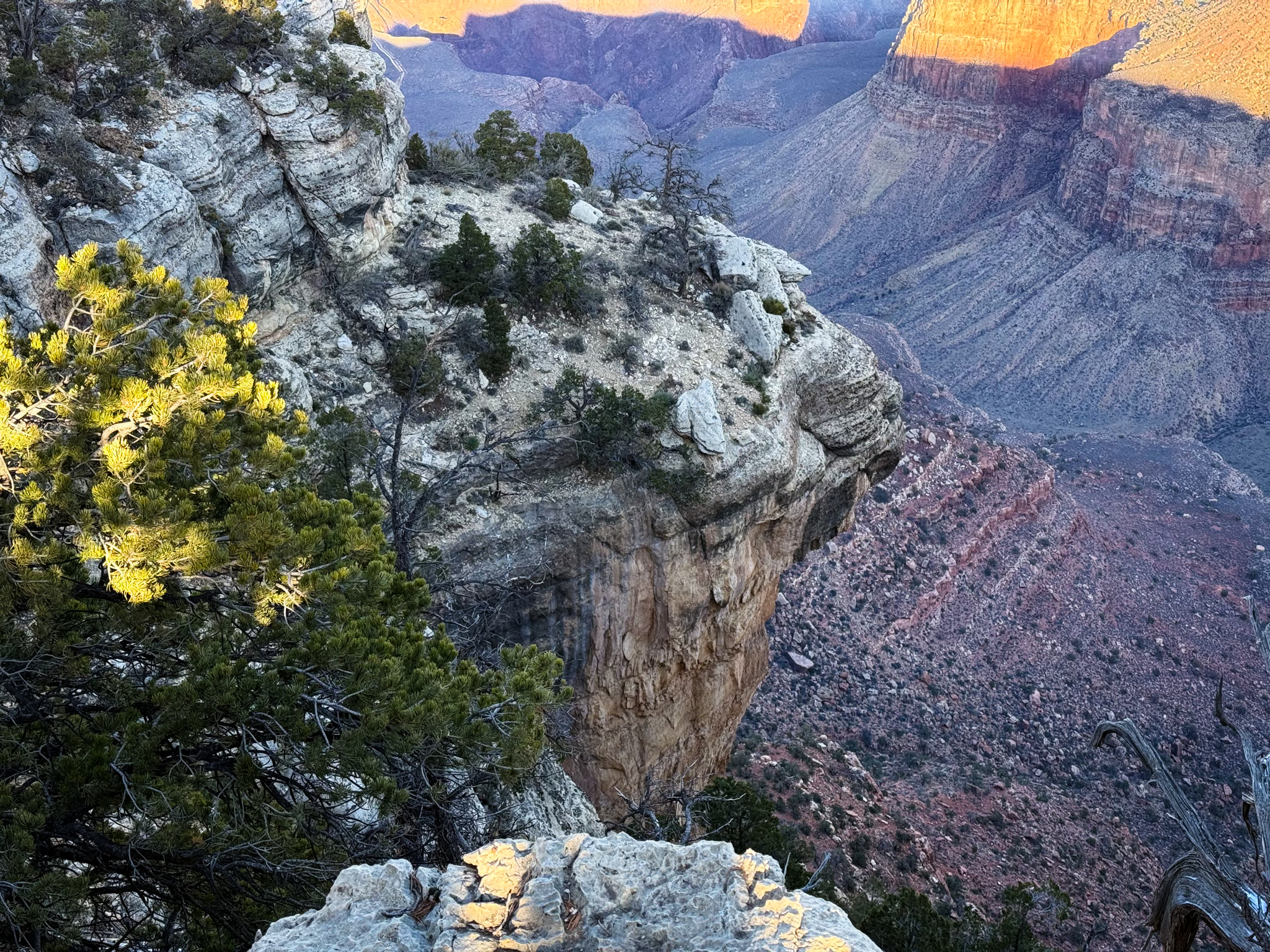
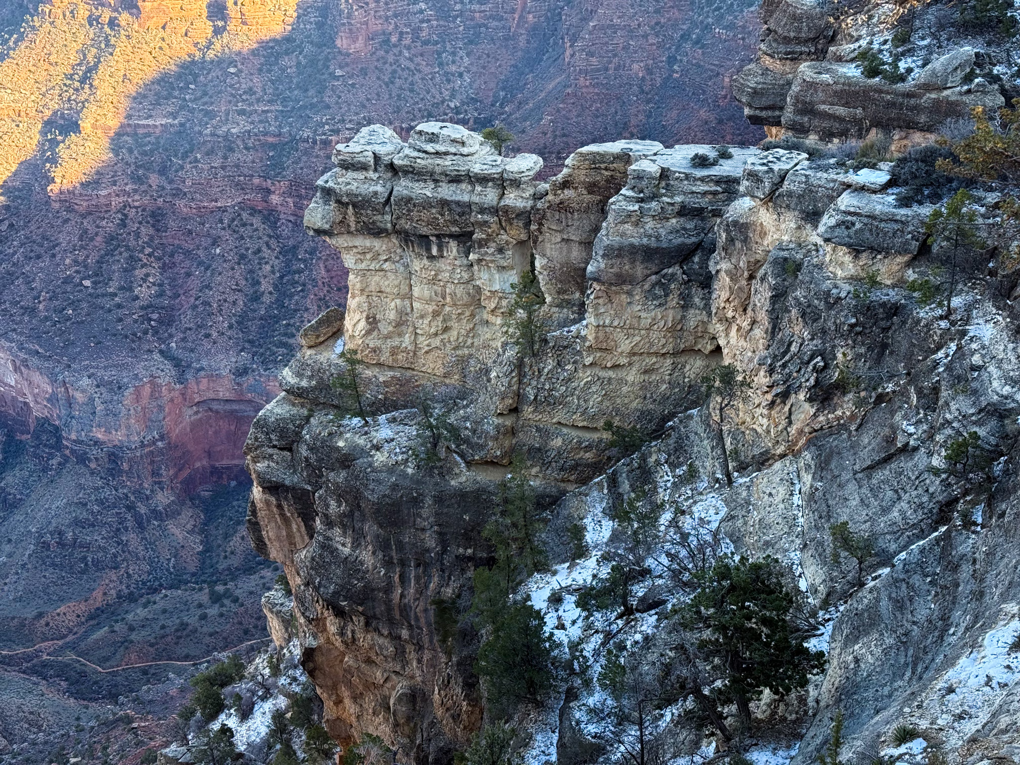
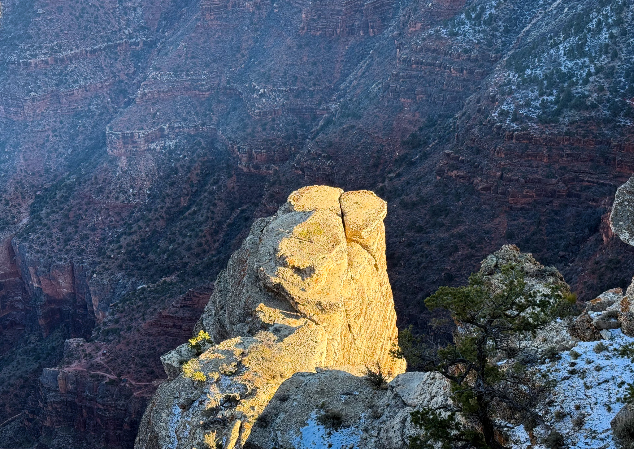
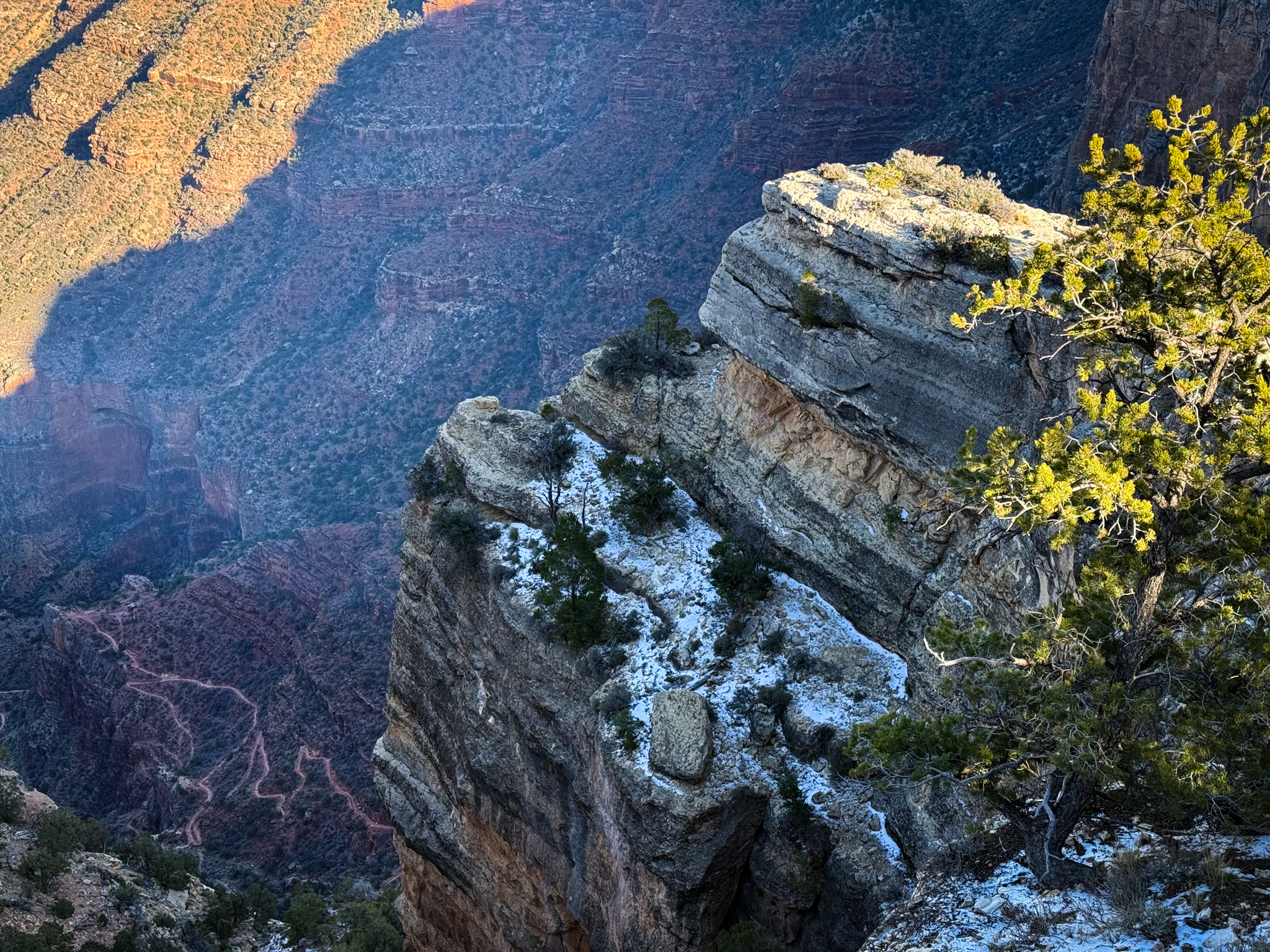
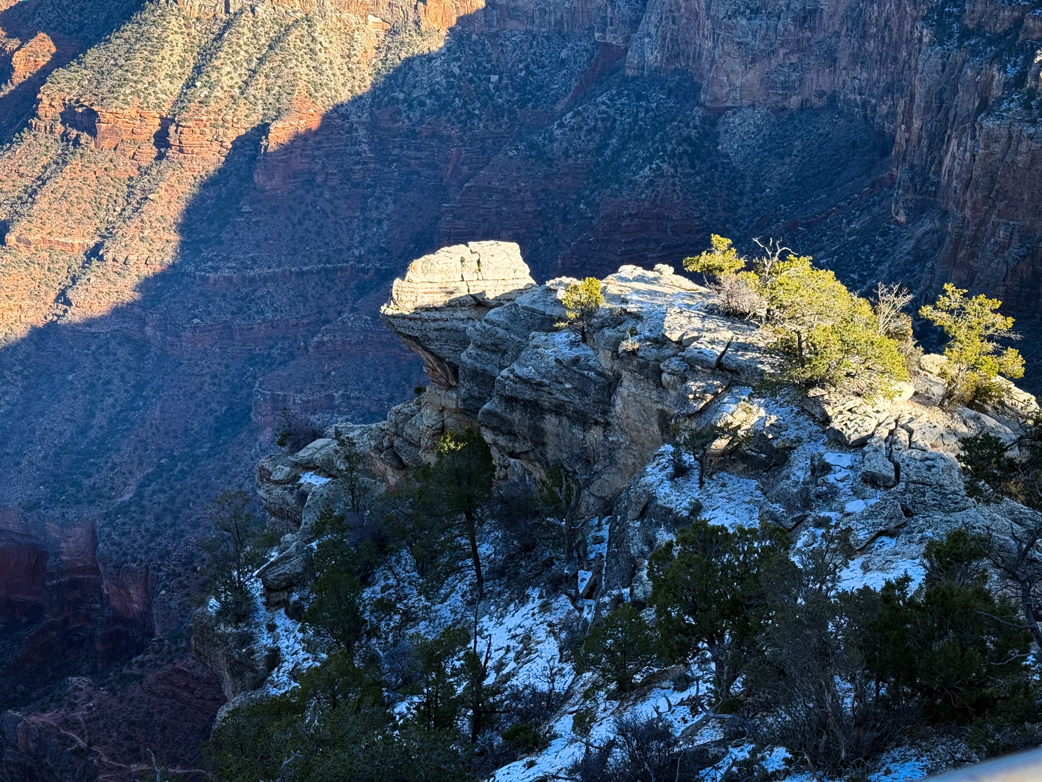
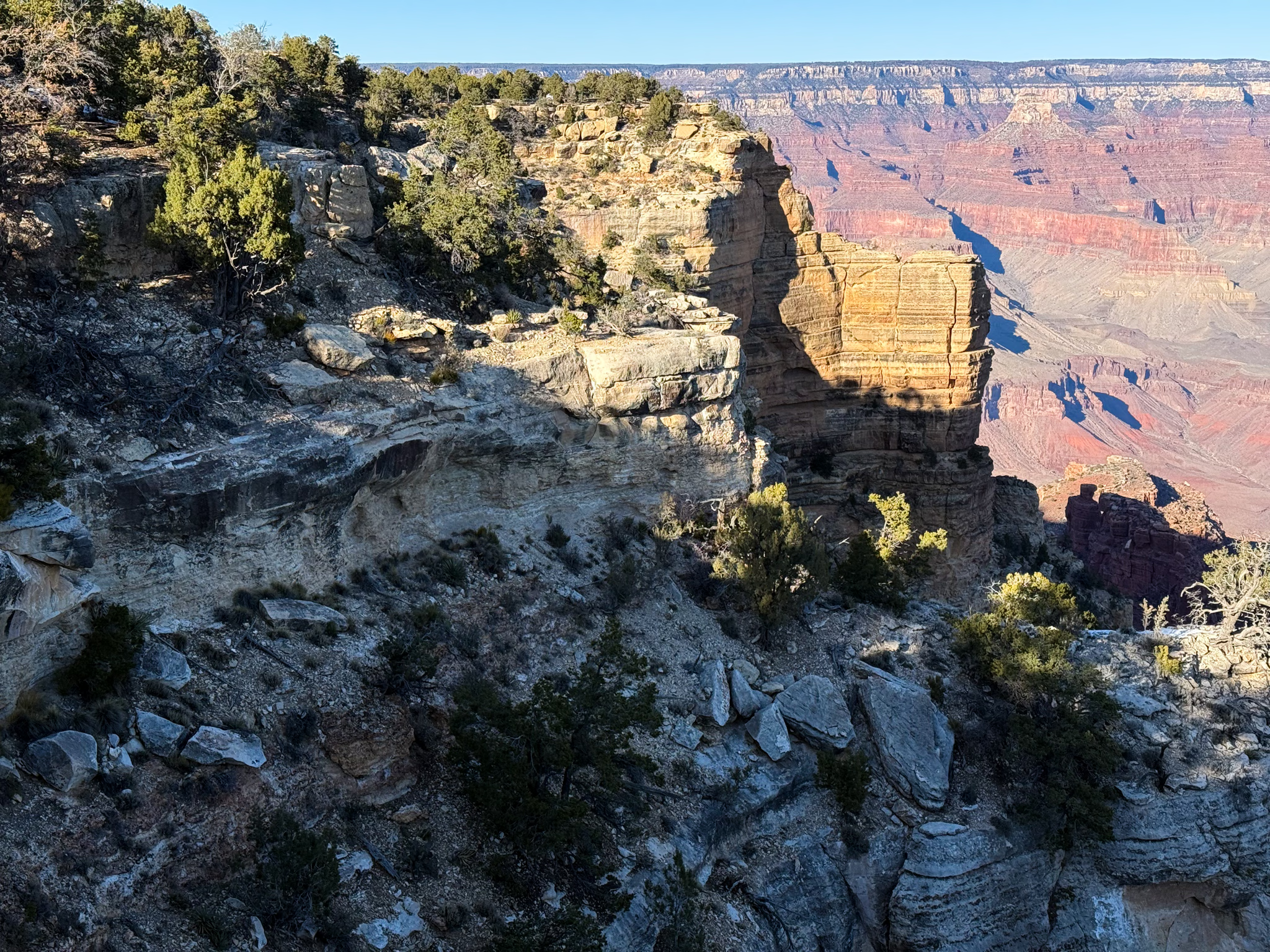
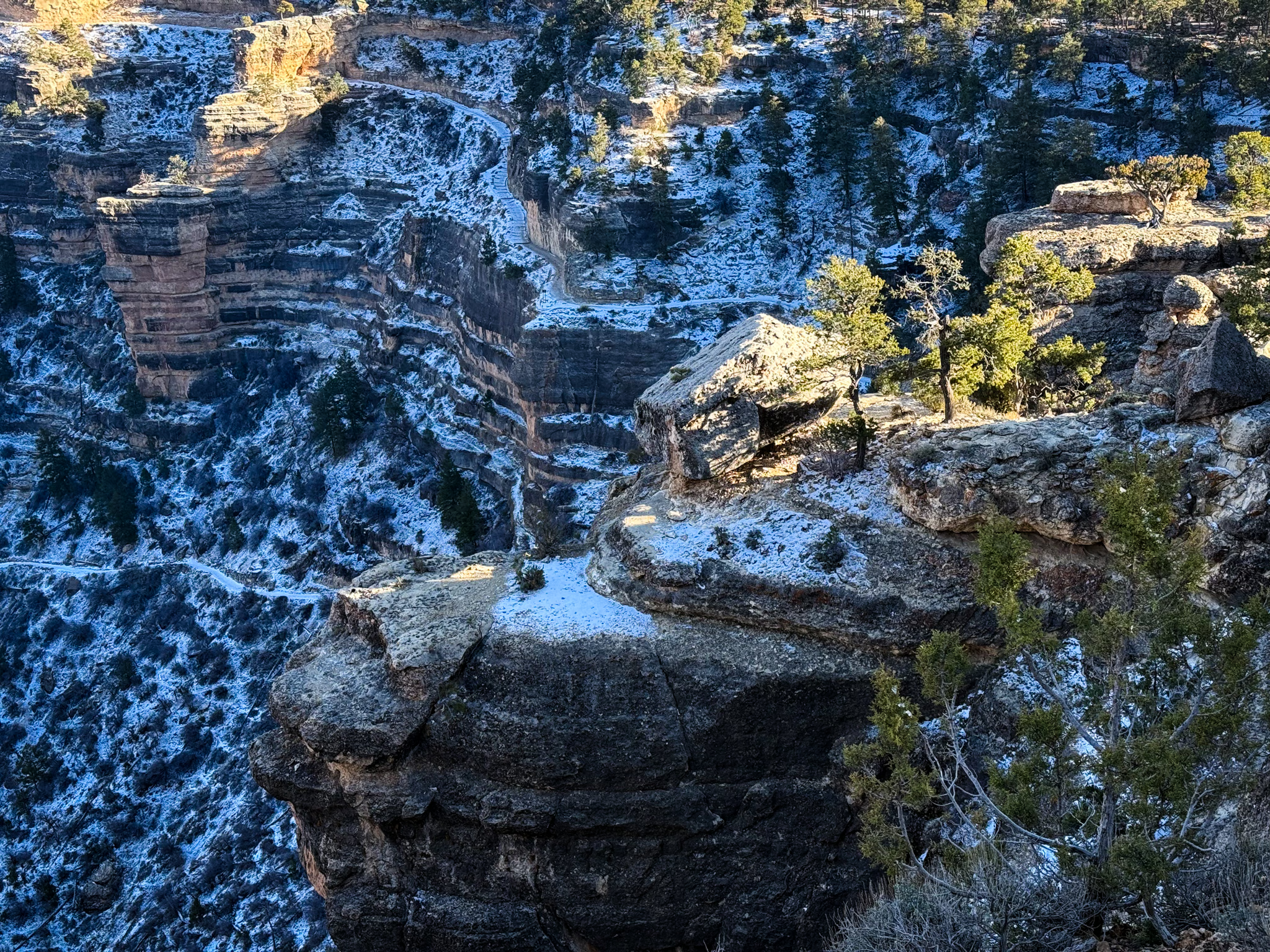
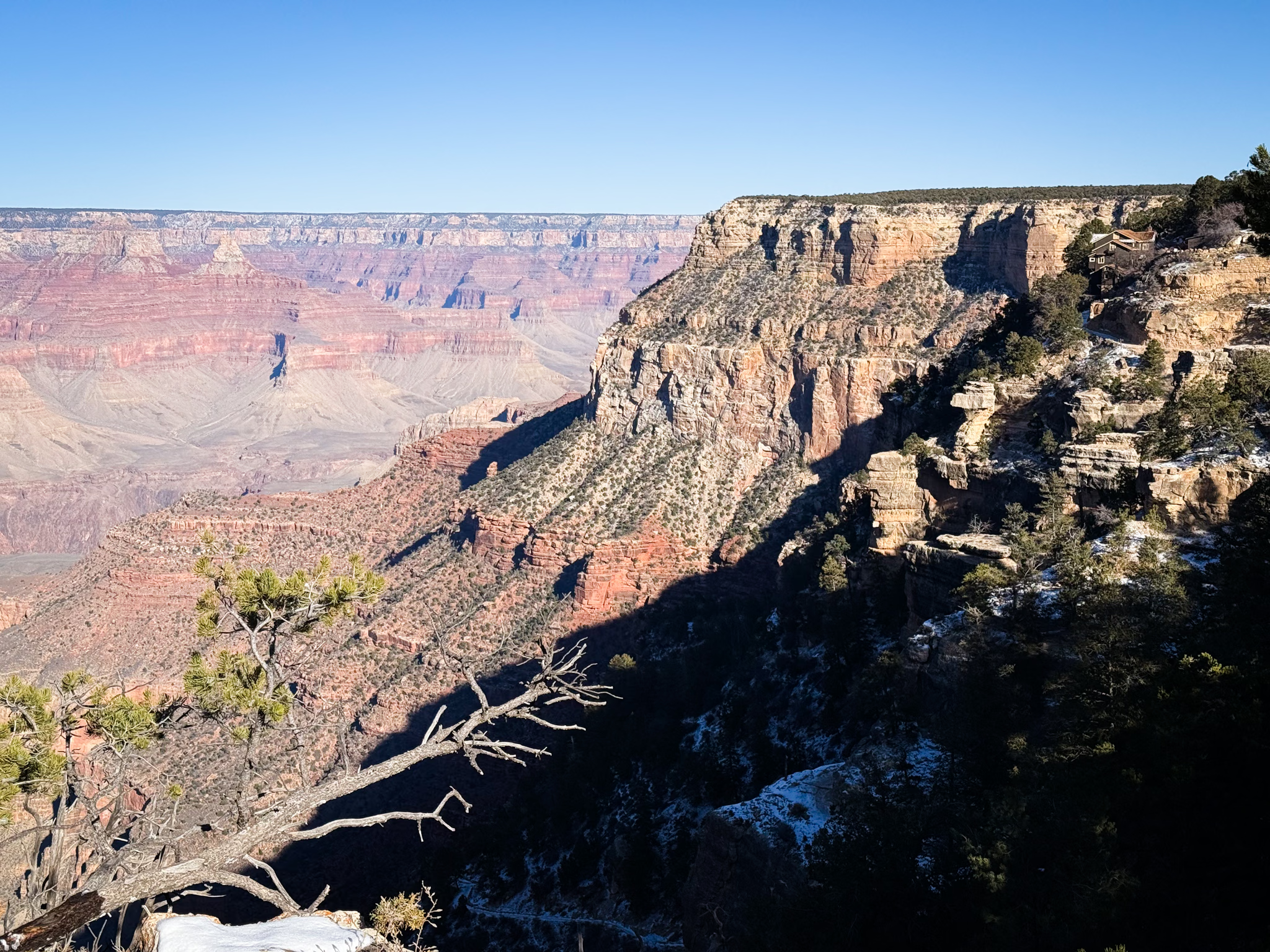
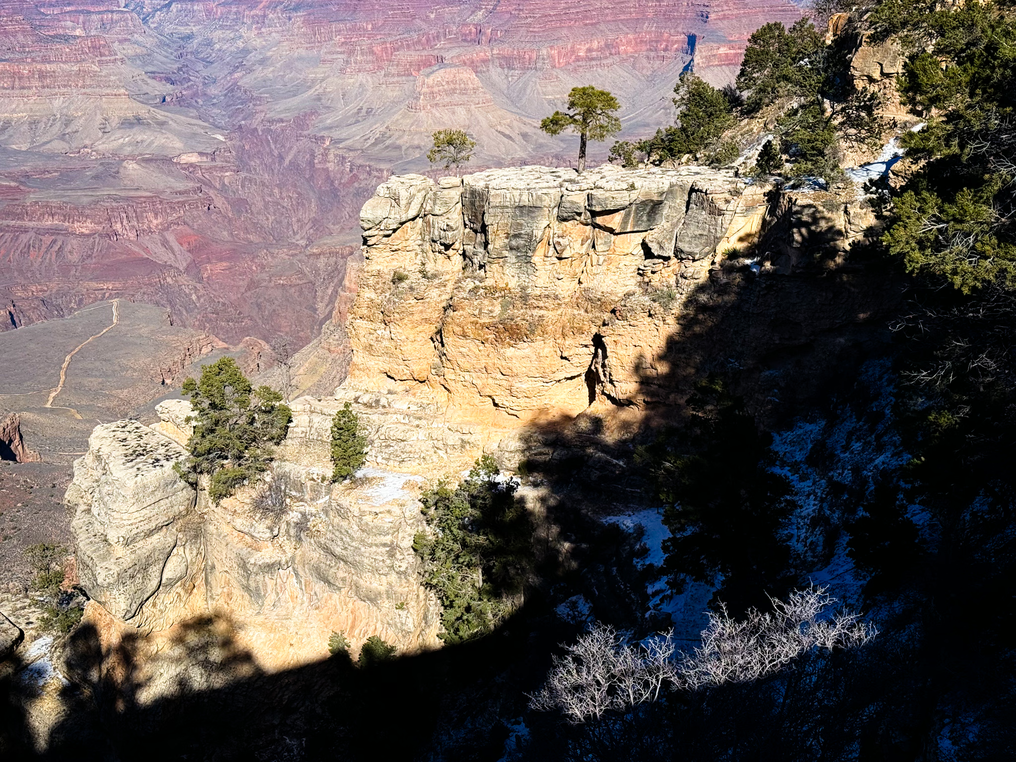
We’ve been to the Grand Canyon before, but this time it was to work on my project, 47 Views of the Canyon, which I had started a few months ago. The basic idea is to shoot views of each promontory, or point, along the rim trail that marks the edge of the South Rim. I’d already spent a long day and a half on my last trip shooting from the Visitor Center and then all the way to the right (requiring driving to get to the farthest points) but this time we were heading leftward, on foot.
One thought that occurred to me: wouldn’t it be nice if I could later locate these images on a map? Nicer yet if these promontories had preexisting names, which might make great image titles. But after my earlier trip I learned that locating these promontories after the fact (most are unnamed) is nigh impossible. Thus, on this new visit, I would make the image with my big camera and then, pointing my cell phone in the general direction of the promontory that I was photographing, take a cell phone picture. Unlike my big camera, cell phones have built-in GPS for every image. If I set my big camera to the correct time, I could easily pair the GPS photo with the real photo.
Later, looking at the GPS photos on my screen, I noticed their beauty. They are so different than the “real” photographs that I was shooting–the GPS images are in color, my big camera images are black and white, for starters. But so much more than just a GPS coordinate. I’ll share my 47 Views images at some later time over on my art blog, A Bigger Camera, but for now, I hope you find these as enchanting as I do.